Backyard Orchard News
'Mining for Bees' in the Cherry Laurels
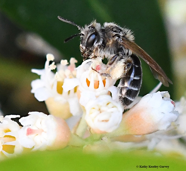
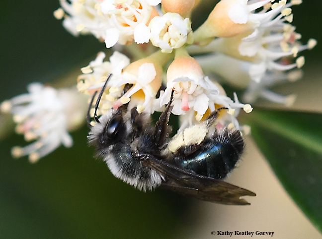
Have you checked to see what's foraging on your early spring blooms? Our cherry laurels (Prunus...
A tiny Andrena candida foraging in the cherry laurels in Vacaville, Calif. (Photo by Kathy Keatley Garvey)
Andrena nigrocaerulea foraging in the cherry laurels in Vacaville, Calif. (Photo by Kathy Keatley Garvey)
Marching for Science on April 22
A honey bee, dusted with blue pollen, forages on a bird's eye, Gilia tricolor. We tower above her...
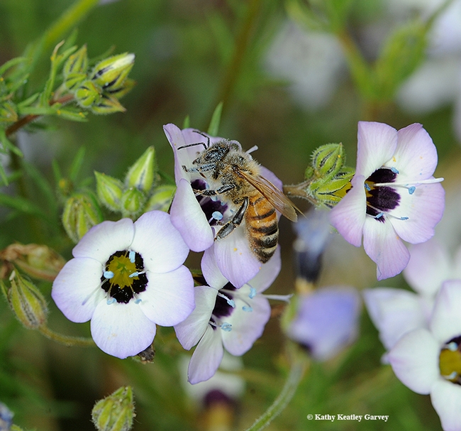
A honey bee, dusted with blue pollen, forages on a bird's eye, Gilia tricolor. This photo was taken in April 2010, when all was not right in the bee world. It still isn't. (Photo by Kathy Keatley Garvey)
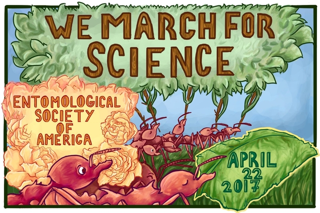
Insects "March for Science" in this art work by ESA member Carly M. Tribull.
Generous Donation from the Delfinos
A big shout out to Tom Delfino, Director of the California Citrus Nursery Society, and his wife...
A Dazzling Display of Red Pollen
Some folks worry about "getting the red out." How about "getting the red in?" Have you ever seen...
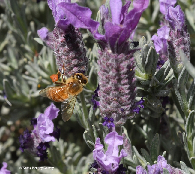
A honey bee packing red pollen stops to sip from nectar from Spanish lavender. (Photo by Kathy Keatley Garvey)
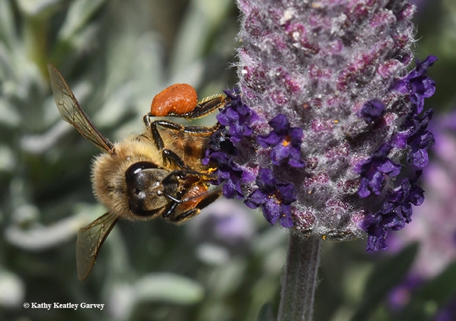
A honey bee adjusting her load of red pollen. (Photo by Kathy Keatley Garvey)
Please consider attending the two drone workshops scheduled at Kearney April 13th and April 14th 2017.
UC ANR Kearney Agricultural Research and Extension Center (KARE) will be the location for two related drone workshops. The goals of these workshops are to provide an overview of unmanned aerial systems (UAS) technology and best practices for data collection, and an insight of drone regulations and data processing to affiliates of the University of California Division of Agriculture and Natural Resources (UC ANR), as well as public and private resource professionals.
Each workshop costs $30.
Drone Technology and Data Collection, Thursday, April 13th, 2017, 11:00am to 4:00pm. This workshop will provide an overview of unmanned aerial systems (UAS) technology and best practices for data collection. It is designed for participants with little to no experience with drone technology, who are interested exploring practical applications of drones for a variety of data collection interests. The workshop will begin with a lecture on drone technology, and considerations for flight planning and deploying your drone. We will then go outside for a drone demo, where we will be joined by Green Valley International who specializes in LIDAR drone applications, for some hands-on experience with flying a variety of common quad-copter platforms. To conclude the workshop, we will discuss a wide variety of potential scientific and management oriented applications for drones, and associated mission specific considerations. Click here to register.
Drone Regulations and Data Processing, Friday, April 14th, 2017, from 10:00am to 3:00pm. This workshop is designed for participants with little to no experience with drone data or GIS software applications. Following a brief lecture on regulations and how to prepare for the FAA Part 107 Remote Pilot License test, hands-on exercises will introduce you to the steps you will need to know for processing drone imagery and Lidar data to create your own maps. To conclude the workshop, we will compare the various types of data that can be collected by drones to identify the advantages of each data set for different research and management interests. Click here to register.

